
Greater Niagara Region
Frank Campbell
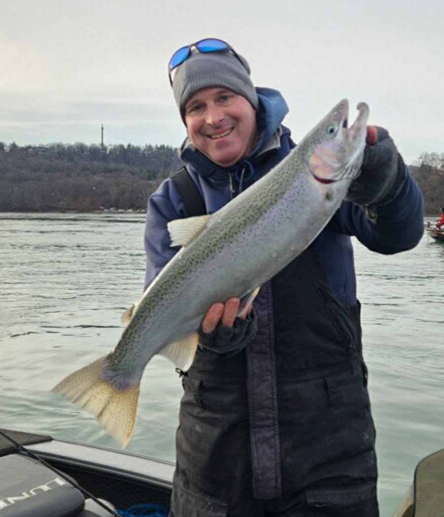
It’s been a bit of a mess in the lower Niagara River due to recent ice issues around the Lewiston launch ramp area. As of this morning, the Lewiston Department of Public Works was able to clear out the ice and boat access is once again available. Shore fishermen like Mike Ziehm of Niagara Falls were out this weekend and they landed some nice steelhead (and lost a bunch, too). Ziehm was using his homemade pink bucktail jigs. Water clarity was around 5 to 6-foot with some floating ice moving down river. Heavy winds earlier this week sent some ice over the ice boom and down river, and this could create some problems for both shore and boat anglers. Be careful when negotiating the shoreline because there is over 2 inches of solid ice buildup on shoreline rocks. Use extreme caution. Capt. Tyler Siegmann of CGF Guide Service didn’t make it out with his boat but he did manage to hit the gorge shoreline to wet a line for a few hours in Devil’s Hole. There is still a decent amount of ice floating down the river and ice shelves on the shoreline are making it dangerous to walk and safely net fish. He caught two lake trout jigging swimbaits under a float. It was tough fishing with the wind howling and having to cast and fight fish around the ice chunks.
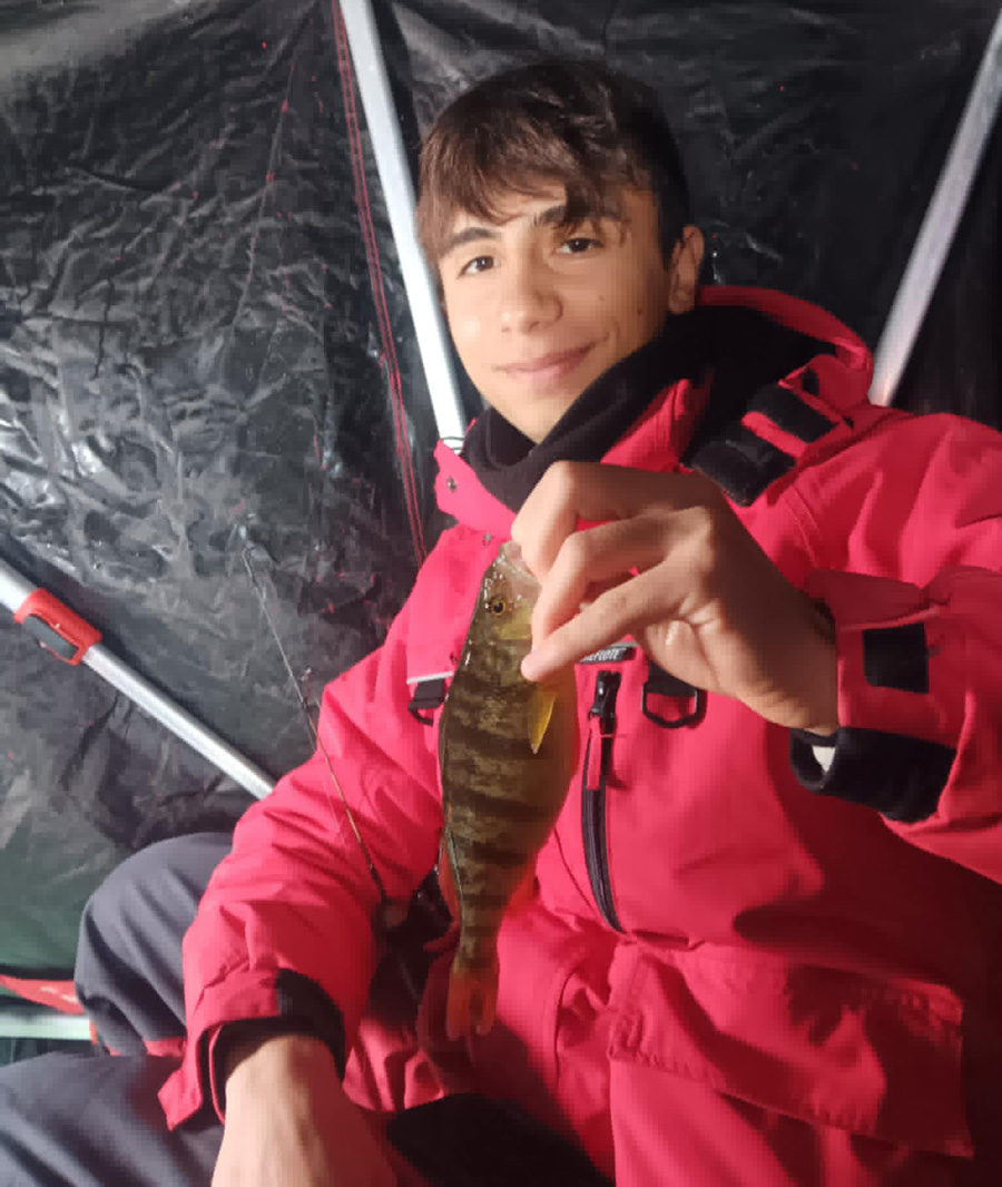
Matt Vogt of Newfane did some more local ice fishing this past weekend. Wilson Harbor has a good amount of slush on top of the ice, and some spots are more wet than others. The panfish bite seemed to remain good, with perch, bluegills, and crappies all being caught. The pike bite is certainly slow this year. Ice remained healthy, growing to about 6-7 inches. Vogt insists you should remain cautious though. There’s a phenomenon going on this year that he has experienced, and other locals he talks to on the ice have seen it as well. The bottom of the bay is releasing gas bubbles that are eating away at certain locations of the ice creating some soft spots. These are extremely brittle areas. Always remember there’s no such thing as completely safe ice.
The Greater Niagara Fishing Expo at the Niagara Falls Convention Center is only 2 weeks away, set for Feb. 13-16! Almost all the education, which includes over 250 seminars, is now uploaded to the website at niagarafishingexpo.com. Check it out … and see you there!
Wayne County Fishing Update
Chris Kenyon
Bays
Ice fishing Saturday saw hundreds of Shanties on Sodus Bay. Then, the dominating wind came and continues through tomorrow. The thickness is safe; however, it is dangerous and “No Fun” drilling holes when the blow is clocked-in at 30 mph.
Thursday is predicted to be a little calmer with west winds at 8 mph. (we’ll see!!)
The ice thickness is 8 inches plus on Sodus Bay. Keep in mind this is the thickness in the center of the bay.
Recently, a machine went through the ice on the west side of Shaker Heights. (Third Creek). The bubblers that are used to keep permanent docks ice free are very powerful, and push water under the ice…sometimes 30 to 40 feet away from the dock. That melts the ice, and you cannot determine the safety when there is snow on top.
The perch are scattered on Sodus Bay and the larger fish have been in 20 to 25 fow. Use chartreuse jigs tipped with fresh spikes. There have been many catches of pike, so prepare for the (toothy creatures” coming up through your hole.
Port Bay has the same thickness for ice as Sodus, with most of the snow blown off the bay. Beware of two or three docks with powerful bubblers on the northeast side of the bay.
You can use machines on the bay, however, keep them away from the shoreline.
The following guide from DEC is the thickness needed for safety. This is an accurate guide for safety on ice.
| Ice Thickness | Permissible Load |
| 2 inches or less | Stay Off |
| 4 inches | Ice fishing or other activities on foot |
| 5 inches | Snowmobile or ATV |
| 8-12 inches | Car or small pickup |
| 12-15 inches | Medium truck |
Remember to stay away from tributaries and open water near docks that use bubblers.
Erie Canal
Not much happening on the canal, however you can set-up shanties near Widewaters without the gusty wind that occurs near the Lake Ontario embayments.
Launch sites for Sodus: Bay Bridge Sport Shop. Launch at the Margaretta. It’s on your right on Route 14 just past Martin’s Marina.
Launch sites for Port Bay: Barrier bar road at the north end of West Port Bay Road and the south end DEC site. The north barrier bar road is very bumpy. Take it slow.
Bait for fishing is available on the south end of Sodus at Davenports and Bay Bridge Sport Shop.
On Port Bay Jarvis Bait Farm is open on Brown Road. The signs are on East Port Bay Road at the junction of Brown Road.
Toadz Bait is near the end of West Port Bay Road.
Notable Freshwater Fishing Regulation Changes
The following list offers a summary of the most notable fishing regulation changes resulting from the adopted rulemakings described above.
- New statewide regulation for rainbow trout, brown trout, and splake in lakes and ponds. The season will now be open year-round, with a five-fish daily limit, any size, with a “no more than two longer than 12 inches” harvest rule.
- Statewide Atlantic salmon regulations will now allow for a year-round open season.
- Ice fishing is permitted on all waters in New York unless specifically prohibited with the exception of Essex, Franklin, Fulton, Hamilton, Herkimer, Lewis, St. Lawrence, Warren, and Washington counties where previous rules remain.
- New specific dates replaced floating dates for statewide season openers to include:
- May 1 – Walleye, Northern Pike, Pickerel, and Tiger Muskellunge.
- June 1 – Muskellunge. (Note that in 2022, DEC will allow for the fishing of muskellunge beginning the last Saturday in May to accommodate previously planned fishing trips);and
- June 15 – Largemouth and Smallmouth Bass.
- A five-fish daily walleye limit in Oneida Lake.
- A new regulation to limit the growth of the walleye population in Skaneateles Lake. No daily possession limit; 12-inch minimum size limit, open year-round.
- The statewide sunfish daily harvest limit has been reduced from 50 to 25 fish: and
- The statewide minimum size limit for crappie has been increased from nine inches to ten inches.
Orleans County
Orleans County Sportfishing Coordinator Ron Bierstine:
Winter weather is hanging in for this last part of Jan with cold temps, snow and wind. Yesterday and thru last night under wind blown conditions there was a couple inches of area wide snow. Temps are forecast cold today and chance for another round of area wide light snow for tonight.
Temps may rebound into the 30’s F for the mid and end of week under windy conditions again. Lows will still be dropping back at night so its not likely there will be any significant loosening of the icing conditions on the tribs just yet. All total there is something like a foot or so of light, windblown snow for the area which may settle but probably not make for much runoff thanks to the forecasted highs this end of week.
Flows in the Oak are real low and clear. Some of the fast and shallow water runs are not iced in but those are not typically good fish holding spots right now anyway. A handful of light line drifters have hit the open water at the dam where some steelhead and browns are hanging in.
If you are hearty enough and use small or natural baits you can almost always find the overwintering fish there will turn on for you at some point during a day. The other area smaller tribs are low and clear and frozen over.
We need to break toward some serious melting action for best steelhead chances – so stay tuned to see if it’ll be slow and steady toward this late winter or something more fast and furious like a significant warmup with rain.
Oswego County
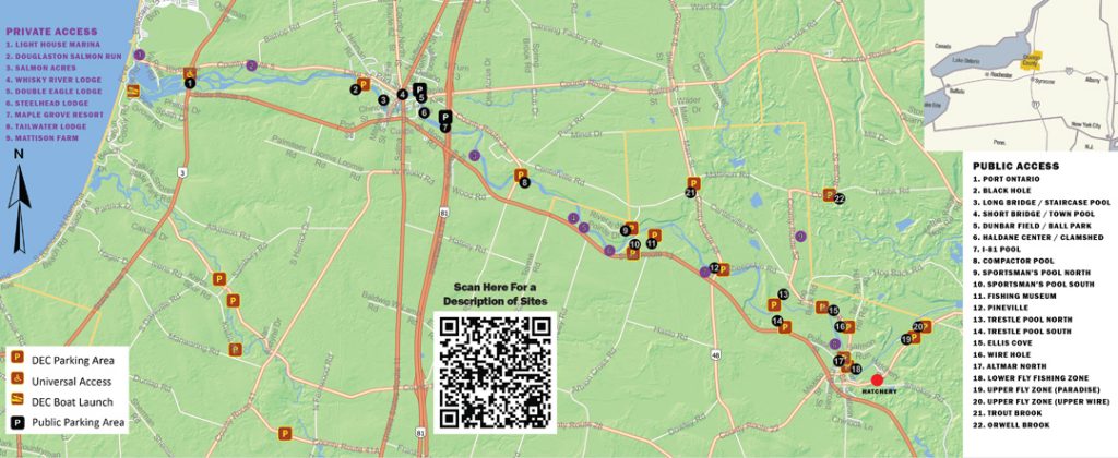
Fishing on the Salmon River has started to get tough compared to earlier this month. Hopefully the flow increase will get the fish active again. The Oswego has been experiencing up and down flows.

Salmon River, Pulaski NY
• Click Here of the 10 day Forecast
• Click Here for the Current CFS at Pineville
Fishing has slowed down. Steelhead have remained scattered throughout the river. Don’t be afraid to cover water looking for active groups. As usual, concentrate your efforts on the slowest deepest water you can find. The water is above 1000CFS. Make sure to be careful wading.
Eggs continue to produce in blue, purple, white and peach. Jigs and the pink worm have been doing well too.
If you’re unsure of where to fish consider ordering a free fishing map from the tourism office by calling 1-800-248-4FUN(4386), or stop by any of the local tackle shops for a free printed copy.
Oswego River, City of Oswego
Click Here of the 10 day Forecast
Fishing on the Oswego has been decent, from the dam to the lock. With the cold temperatures and low flows a lot of ice has formed, so be careful when wading. Productive baits have been egg sacs and beads. With the low, clear water, a stealthy approach has been best!
Both the high and low walls have been productive. Jigs are a great bait this time of year.
Please Consider the Following Year-Round Notice: There are mandatory personal flotation device (PFD) zones on the river. The Oswego Fire Department offers loaner life jackets at no charge through its “Loaner for Life” program. For more information contact the fire station at 35 E. Cayuga St. by calling (315) 343.2161.
• Check the current water flow
And be sure to read the recent news release about fishing access on the West Riverwalk.
Sandy Pond is Open!
Click Here of the 10 day Forecast
There are 7-10” all across the pond, so plenty of ice. Pike and walleye have been doing especially well, and we have reports of some crappie too. But the perch bite has been a bit slow. We expect things to pick up as the season progresses.
Thanks to Woody’s tackle for this report. Be sure to check our Facebook page, or else (315) 298-2378call Woody’s tackle directly for info about the upcoming derbies in February.
The main points of ice access for Sandy Pond are: “The Elms,” Wigwam, and the DEC launch at Stanley Drive.
Request a Free Fishing Map for Salmon River!
Designed to slip into your pocket, this map covers popular public and private fishing locations, as well as boat launches. The best news: it’s completely free!
Contact the Oswego County Tourism Department:

Free Oswego Fishing Guide
The updated Oswego County Fishing and Hunting Guide is now available online and in print. The guide features a new cover and an expanded listing of fishing guides and charters.
The 67-page guide includes a detailed overview of fishing opportunities on eastern Lake Ontario, Oneida Lake, the Oswego and Salmon rivers and a variety of other tributaries, as well as the more than 40,000 acres of public lands available for hunting.