
Eaton’s Neck Triangle Area Is Loaded With Structure And Features

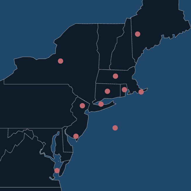
Located in the western end of Long Island Sound off the tip of Eaton’s Neck on Long Island, the fishing grounds known as the Eaton’s Neck Triangle are popular through the season for striped bass, bluefish and bottom fish.
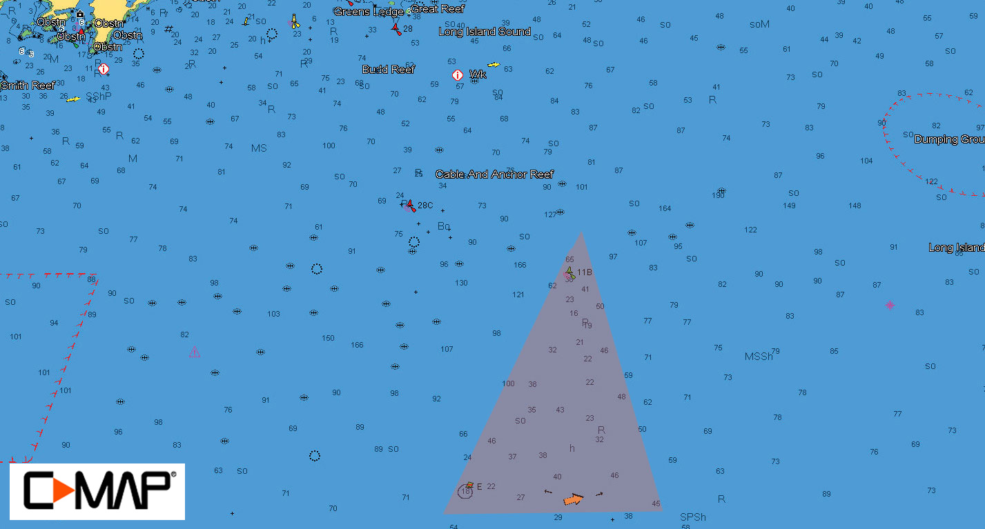
The Eaton’s Neck Triangle is roughly the area outlined by three buoys: the 13 buoy off the tip of Eaton’s Neck, the OB (Obstruction Buoy) marked as “E” on charts, and buoy 11B.
The Eaton’s Neck Triangle area is loaded with structure and features strong tidal currents that sweep up baitfish and make them vulnerable to attack by gamefish positioned behind rocks and ledges.
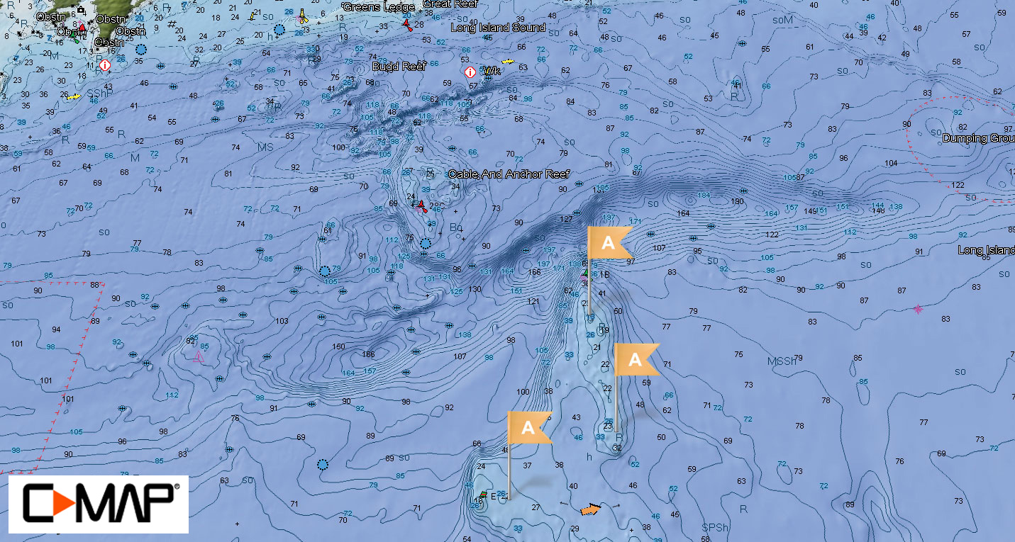
The best bass fishing begins in spring, usually late May into June, as post-spawn stripers move out of the Hudson River and into the western Sound to chase bunker. Not surprisingly, live and chunked bunker account for many of the big bass taken here. In the spring, the bass can be found in many different areas including shallower structure and behind large boulders in 20 to 30 feet of water (A).


As waters warm into the summer, most anglers focus on fishing bait in the deeper areas off 11B (B) and the OB buoy (C). When waters get warm in July, most of the big bass will move on, but there are usually still plenty of bluefish and also some good fluke fishing to be found. In the fall, striped bass picks up again and both stripers and blues are targeted by anglers’ jigging diamond jigs in the current rips near 11B.
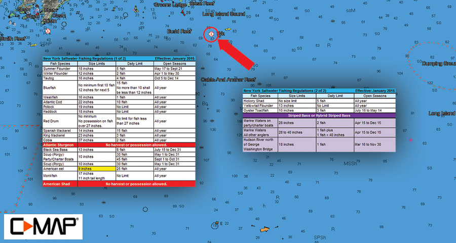
It’s important to note that the southern part of the triangle is in New York waters and the northern part is in Connecticut waters. Be aware that you must follow the most conservative combination of regulations of the state you are fishing in and the state you will be returning to. Click on the Sportfishing Data icon on your C-MAP chart to view the latest state regulations.
Thank you for the article. Could you please guide me as to where I could obtain C-Map for this area for my Garmin?
Thank you. John
Hopefully someone may inform me . I heard of the middle grounds off cranes neck . Is there a middle grounds Northwest of the Triangle off Eaton’s neck?
Thank you !