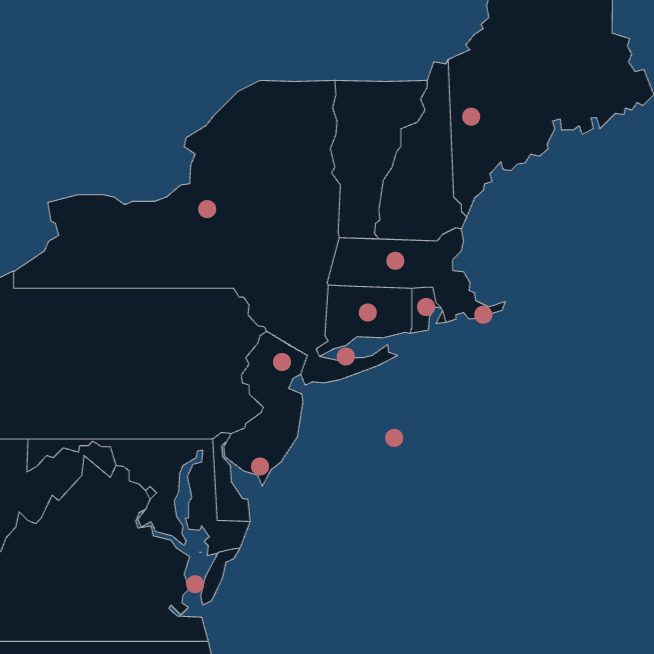
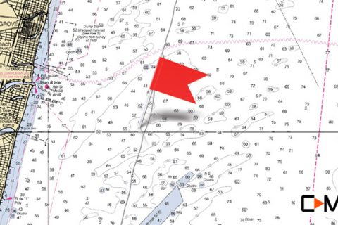
The story goes that the Klondike got its name because New Jersey small boat fishermen felt as though they’d struck gold when they found this fish-rich bottom structure. The structure is located about 5 ½ miles northeast of Manasquan Inlet.

Click on map for custom hi-res bathymetric custom map provided by C-MAP
Rockpiles and mussel beds litter the area, which covers depths from 46 to 80 feet. A mile-long underwater ridge runs mostly east to west. It’s a likely place to encounter big sea bass, porgies, and tautog, even ling and cod.

To catch most of the bottom-dwellers here, a bit of clam on a high-low rig will get the job done. For tautog in the late fall and winter, green crabs or white-legger crabs are best.

Click on map for custom hi-res bathymetric map provided by C-MAP
Big bluefish feed above this structure in the summertime. Chumming and chunking with bunker or mackerel is the key to catching the blues most days, but sometimes they can be tempted with jigs as well.

Click on map for custom hi-res vector map provided by C-MAP
Another summer visitor to the Klondike are doormat fluke. The rough bottom may claim a few rigs and jig, but the payoff can be well worth it.

Great info, thanks
What are the gps numbers for the Klondike?